New feature
🪙 DetectraPro Flags Another Coin Hotspot! 🎯
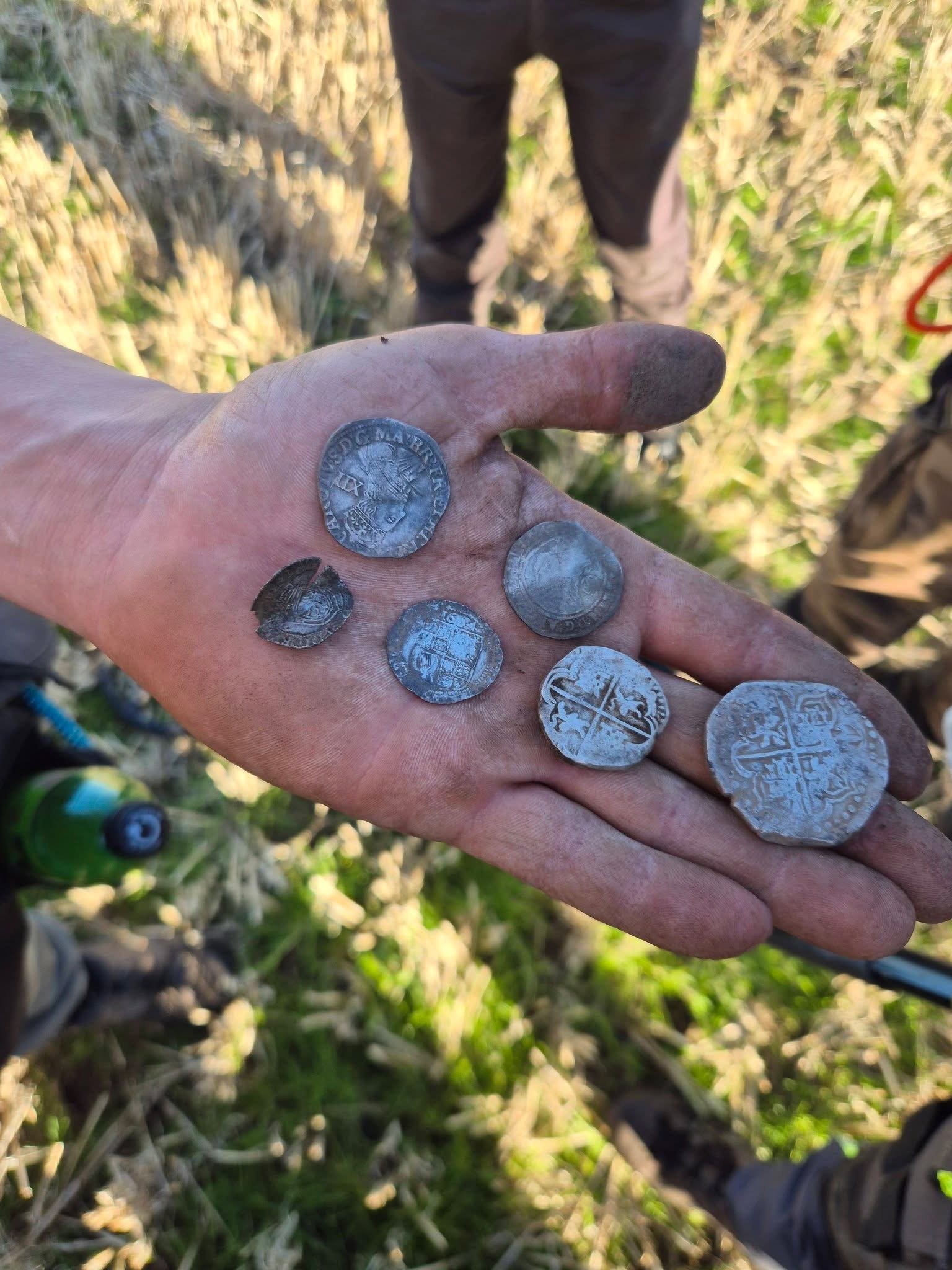
It’s fantastic to see DetectraPro being put to the test out in the field, with some brilliant results!
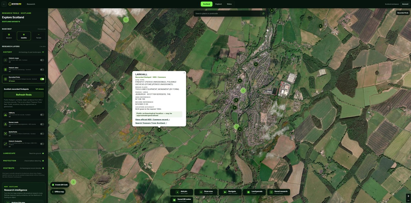
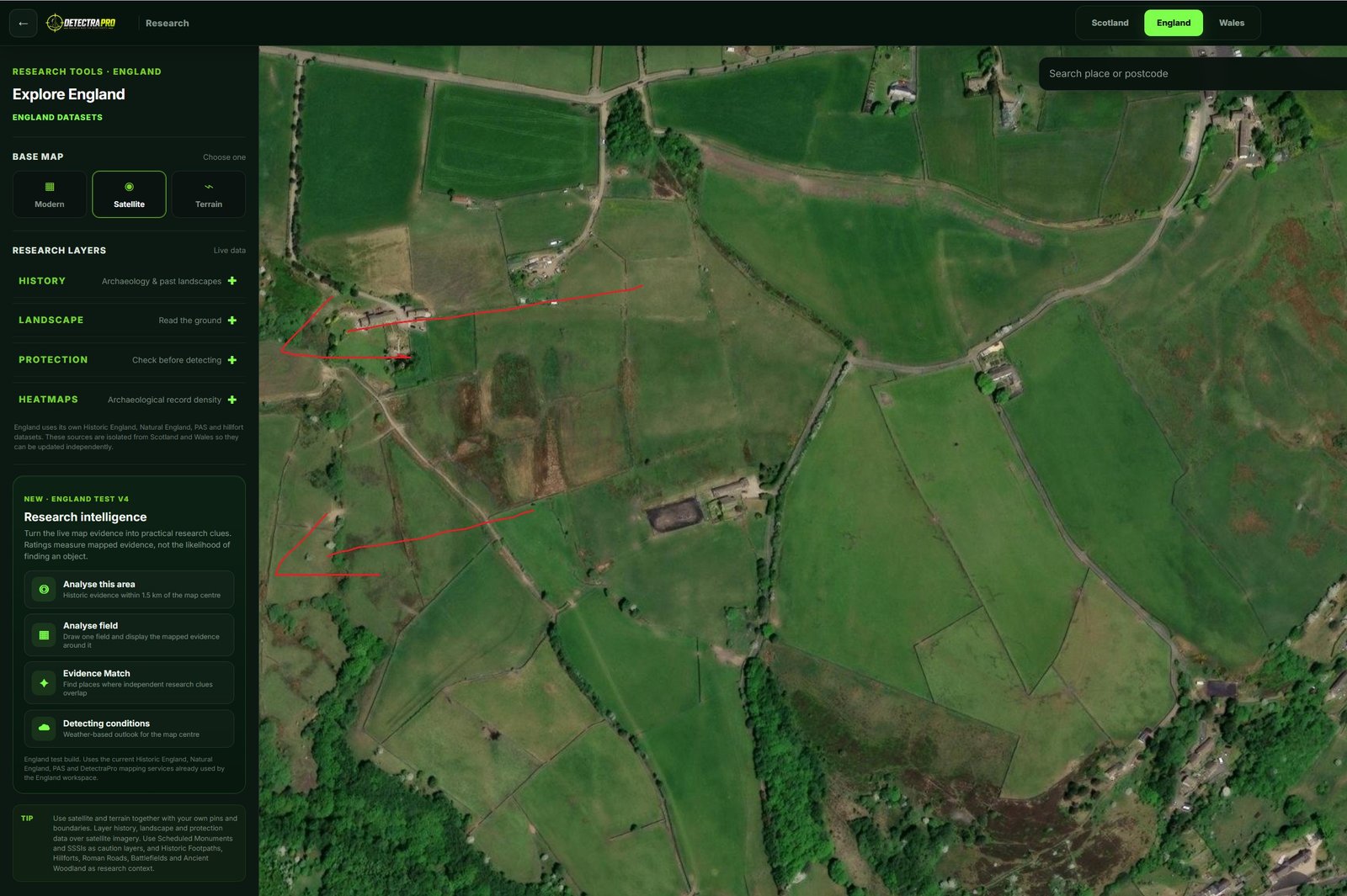
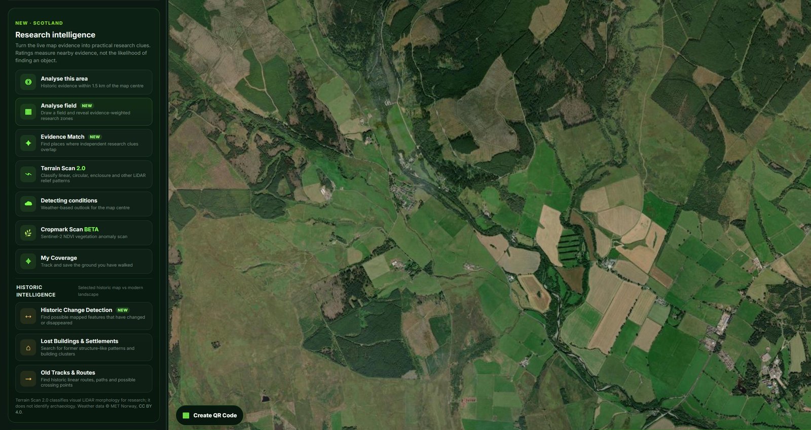
Using DetectraPro’s research tools, the area where most of the coins were discovered had already been highlighted within the app’s Priority Search Zone! 🔥
This is exactly what DetectraPro was designed to do — help detectorists identify promising areas using historical research and mapping data before heading out detecting.
💬 Here’s what one happy user had to say:
“I did try to take a video of me using it, but it turns out I shouldn’t be behind a camera! 😂😂”
👏 A brilliant result and another great example of how DetectraPro can help take some of the guesswork out of choosing where to search.
🔎 Research smarter. Detect with purpose.
🌐 www.detectrapro.com
#DetectraPro #MetalDetecting #CoinHunting #MetalDetectingUK #DetectingHotspots #HistoricalResearch #TreasureHunting